
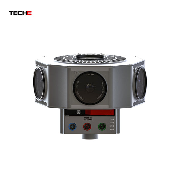
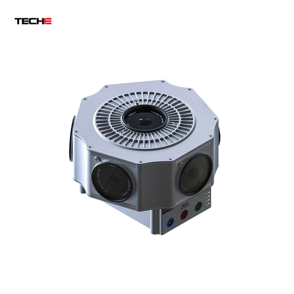

High-Precision Full-Scene Capture with Industry-Leading Technology
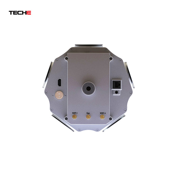
- Military-Grade Positioning & Stabilization: Combines GPS (3-5m accuracy) with gyroscope (static accuracy <0.2°), enabling real-time level correction for precise spatial data and distortion-free imaging.
- All-Environment Adaptability: Designed for extreme temperatures, compatible with portable backpacks, vehicle mounts, and other accessories for demanding outdoor scenarios.
Ultra-Fast Automated Shooting for Maximum Efficiency
- Innovative Shooting System: Auto-calibration, exposure adjustment, and batch shooting, supporting 12K ultra-high-speed capture at five frames per second—one-click uncrewed operation.
- High-Performance Storage: Hot-swappable SSD ensures rapid data writing and lossless quality even during high-speed capture.
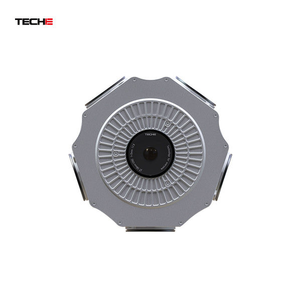
12K Ultra HD Imaging with Unmatched Detail
- 72 Million Effective Pixels: Professionally tuned optics deliver uniform image quality and accurate color reproduction.
- Multi-Scenario Compatibility: Supports both panoramic photos and videos for applications in surveying, cultural tourism, smart cities, and more.
One-Click AI Stitching to Reduce Labor Costs
- Fully Automated Stitching: AI-powered exposure fusion + multi-template stitching, enabling batch processing with 90% less manual effort.
- Seamless Data Integration: Automatically syncs GPS and gyroscope data to generate geospatial 3D maps.
Ecosystem-Based Editing & Developer Support
- Deep GIS Integration: Combines map data with panoramas for 3D navigation, supporting Google Maps standards (EPSG:900913).
- Interactive Multimedia Design: Embeds videos, audio, and text for immersive projects, with open APIs for seamless enterprise system integration.
End-to-End Project Management
- Smart Retrieval & Storage: Cloud/local dual management for quick access to panoramic assets.
- Enterprise-Grade Solutions: Covers the entire workflow—capture, editing, and publishing—for government, engineering, tourism, and other high-end applications.